What this means for you

We confirm whether your ground actually holds minerals — before you spend real money on drilling.

Confirming potential with field data

Every successful mineral discovery begins with high-quality field exploration. Our team provides professional geological mapping, soil sampling, stream sediment sampling, and channel sampling programs designed to identify and prioritize exploration targets. We combine practical field experience with systematic data collection to deliver reliable geological information that supports informed decision-making. Whether evaluating a new prospect or advancing an existing project, our disciplined approach ensures accurate sample collection, careful documentation, and efficient program management. From initial reconnaissance through target definition, we provide the geological foundation needed to reduce exploration risk and guide the next stage of successful mineral exploration.

  • 🧭Prospecting and regional geological reconnaissance.
  • 🗺️Detailed geological mapping.
  • 🧪Geochemical sampling of soils, sediments and rocks.
  • 🪨Structural and alteration mapping.
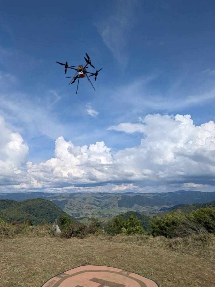
  • 🔁Drone (UAV) surveys: photogrammetry, orthophotos and elevation models.
  • 🛰️Interpretation of remote sensing and satellite imagery.

Field programs across porphyry, epithermal, VMS, IOCG, gold and industrial-mineral targets.
Geological fieldworkGeological fieldwork
Technology

Drone (UAV) surveys

We use unmanned aerial vehicles to capture the terrain quickly, accurately and with low impact, generating high-resolution base information for the following stages.

📷

Aerial photogrammetry

Drone flights to generate high-resolution orthophotos and mosaics of the area of interest.

🏔

Topography & DEM

Digital elevation models and contour lines for terrain planning and mapping.

🧭

Structure detection

Support for structural and alteration mapping through georeferenced aerial imagery.

In the field

Field methods

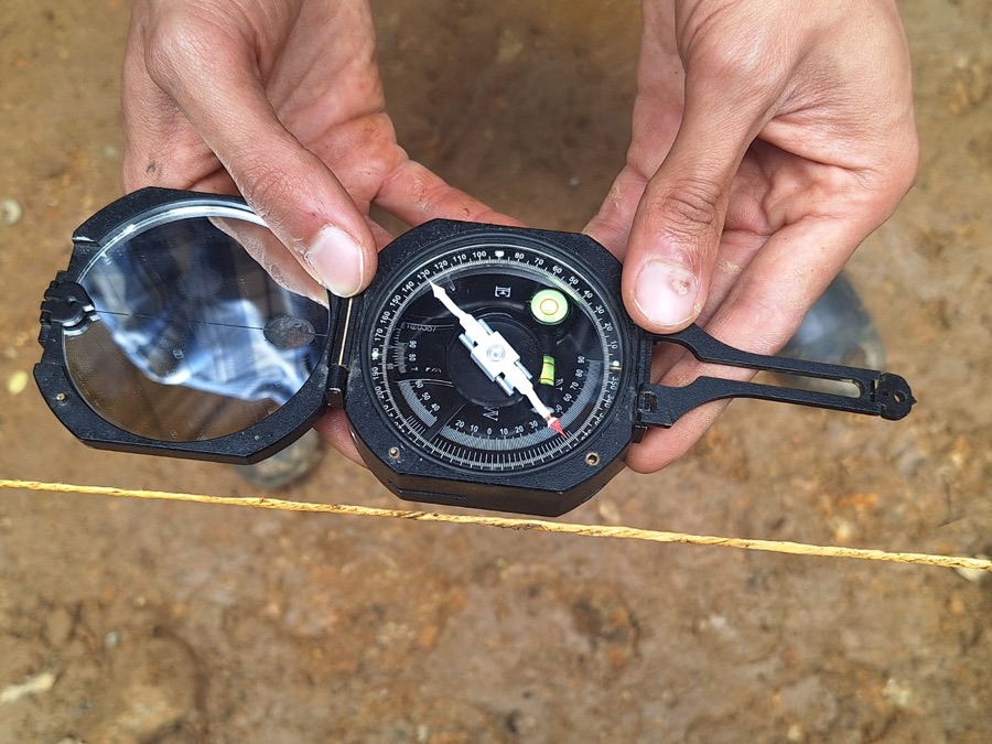
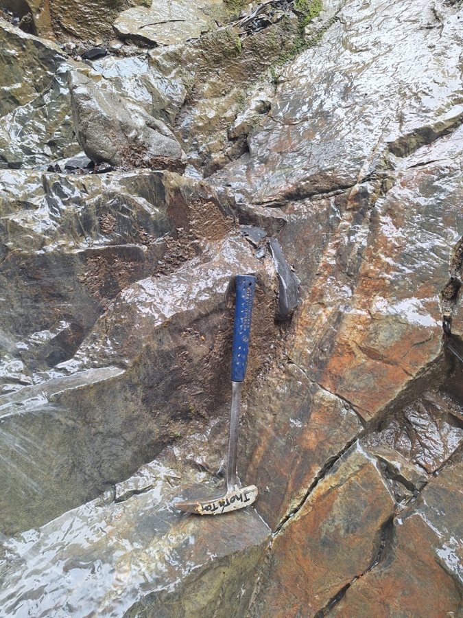
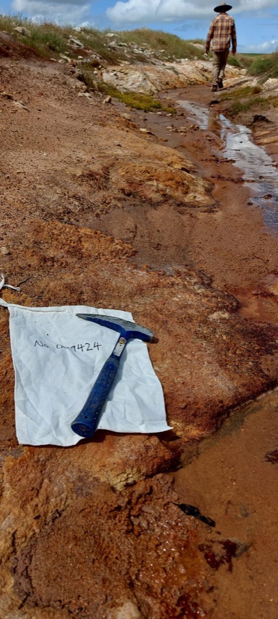
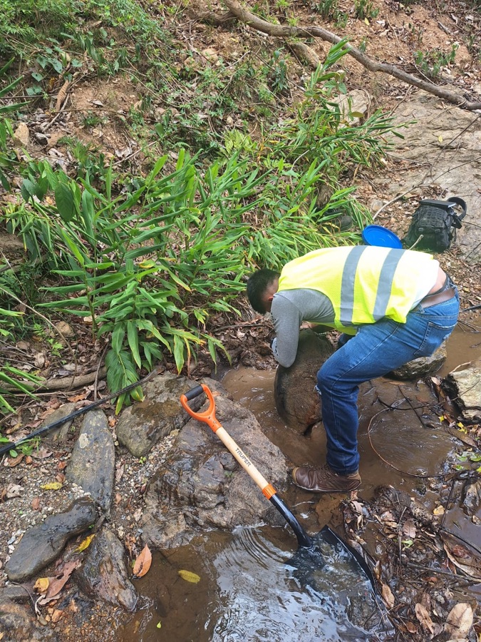
Structural readings, outcrop sampling and stream sediment sampling — the day-to-day work behind every basic exploration campaign.

Geological compass reading
Structural reading
Outcrop rock sampling
Outcrop sampling
Geochemical sample bag in the field
Geochemical sampling
Stream sediment sampling
Deliverables

What the client receives

🗺

Geological maps

Georeferenced mapping with lithologies, structures and alteration zones.

📊

Geochemical results

Databases and interpreted anomalies from the sampling campaigns.

🌐

Orthophotos & 3D models

Orthophotos, elevation models (DEM) and mosaics generated with drones.

📝

Potential report

Target evaluation and recommendations for the advanced exploration stage.

Ready to evaluate your next investment?

Let's talk about how Andean Resource Ventures can support your mining initiative from prospecting to resource definition, with the technical rigor and regulatory diligence institutional investors expect.

Contact us