CapabilitiesAdvanced exploration tools
Our advanced exploration services integrate cutting-edge technology with proven field expertise to accelerate mineral discovery and project development. We provide drone surveys, LiDAR mapping, aerial magnetometry, ground geophysics, induced polarization (IP), and comprehensive drilling support tailored to each project's objectives. By combining multiple exploration techniques, we generate high-quality datasets that improve geological interpretation, refine drill targets, and reduce exploration risk. From detailed target evaluation to drill program management and logistical coordination, Andean Resource Ventures delivers technically robust, cost-effective solutions that help clients make informed decisions and unlock the full potential of their mineral assets.
✓ Integrated drone, LiDAR, geophysics and drilling support on every campaign.
Geophysics
Magnetic, gravimetric, IP/resistivity and other methods to see beneath the surface.
Drilling
Planning and supervision of diamond and reverse circulation (RC) drilling.
Core logging & sampling
Geological description, systematic sampling and quality assurance (QA/QC).
3D modeling
Construction of geological and block models of the deposit.
Resource estimation
Mineral resource calculation under recognized international standards.
Toward pre-feasibility
Technical inputs for conceptual and pre-feasibility studies.
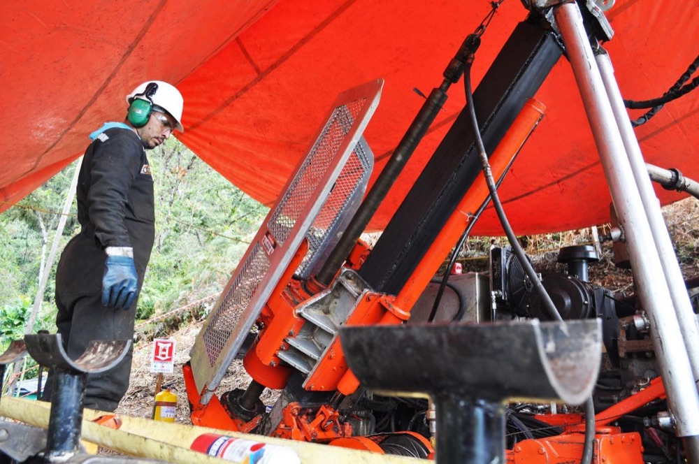 Exploration drill site